

 |
 |
 |
 |
|
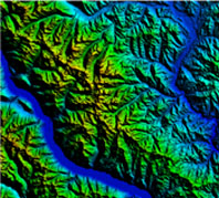
Charttiff DEMs are created from the USGS 10 meter or 30 meter elevation data and delivered in the standard USGS format. DEMs have been processed for easy seaming, eliminating slivers. File names coincide with the USGS DRG names. Files are delivered on CD ROM in the native USGS, UTM, NAD 27, meters datum and projection. Other options available, call for pricing. DEMs are sold by one degree block.
To order call Toll Free 1-888-333-GEMI or shop online!
|
 Charttiff DEMs