| 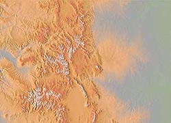
A set of full color, shaded relief maps which can be imported into and georeferenced in a GIS, mapping software, or any raster viewing capable software. These raster maps constitute a highly detailed topographic base over which vector data features such as streams, roads, etc. can be overlaid or used for graphic and presentation purposes. The map images have been computed from 6 arc second subset of the USGS 3 arc second, gridded elevation database. |