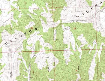
|  Complete coverage of the Continental United States. Complete coverage of the Continental United States.
GeoLite's are created from the professional series of ChartTiff Geo ChartTiff GeoLite's are reduced to 125 dpi by proprietary technology which retains the original map quality. Files are in standard JPEG file format and have the complementing ESRI "jpgw" world file. Lites also include the expanded world file "jpr" with additional quad related info including map scale, datum, feet / meters and quad name. Collarless / Seamless Topographic Maps. No Setting Clipping or Setting a Transparency Layer required.
Plug compatible with your GIS System or Navigational System.
Great for Web based map server applications. On board Install software allows:
- for Datum selection of NAD27/NAD83.
- for Resolution selection of Feet / Meters.
- for file renaming (quad number or quad name). | 


