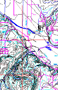
 1:24,000 Scale Vectors 1:24,000 Scale Vectors
• Coordinates:UTM, State Plane or latitude-longitude
• All data types created on layers, including 3D contour data
• Most Major CADD and GIS systems supported
• Reasonable pricing
• Other government map types also available
• Custom maps and overlays can be created Includes the Following Layers:
• Roads
• Water
• Cultural Features
• Political Boundaries
• Land Grid
• Contours Geo-referenced to Real World Coordinates Available in:
• State Plane Coordinates
• Universal Tranverse Mercator
• Latitude - Longitude Individual Layer Pricing Available! |


