Instant
Satellite Imagery
 Instant
Satellite Imagery
Instant
Satellite Imagery
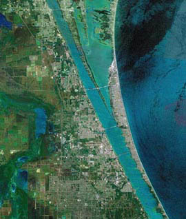
Instant satellite image processing for: Geology, Natural
Resources, Agriculture, Urban Planning, Telecommunications,
Environment, and Pipeline and Corridor Siting. Other services
available:• High quality hard copy output of your
satellite image or GIS map on an IRIS printer
• Mosaicing
and classification
• Mapping and cartography
• Processing of all satellite data: Landsat, SPOT,
IRS, RADARSAT, and more! |
| Item# |
Description |
Price
Each (U.S.) |
| TRI101 |
Instant
Satellite Imagery |
From
$1500 per scene |
For
more information or to order call Toll Free
1-888-333-GEMI in U.S. or call 303-713-9500.
©2000
by GEMI Corp.
All rights reserved.

|
|