EOM Banner Earth Observation Magazine Home Magazine Archives Advertise About Us Contact RBI GITC

Printable Version

     2005 July — Vol. XIV, No. 5

Current Issues
Archives
Media Kit
Editorial Guidelines
About Us
Contact Us

Cover Image - June 2005
Features

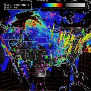
Individual picture file extracted from the data fusion and analysis of a large scale PM event in September 2002
Air Quality Management Through Earth Observations & Models

Lawrence Friedl
Doreen Neil
R. Bradley Pierce
& the NASA Air Quality Program Team


Features

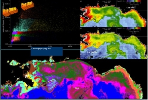
satellite water mass classification
Extending the Use of NASA Research Results for Coastal Management Decision Support

Lawrence A. Friedl
Callie M. Hall


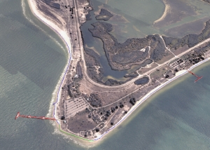
Feature-attributed LiDAR-derived shoreline and an orthophotograph draped over the LiDAR-derived DEM.
A Multiple Sensor Approach To Shoreline Mapping

Stephen White
Maryellen Sault
Christopher Parrish
Jason Woolard
Jon Sellars

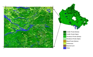
Sample EOSD land cover classification product
Monitoring Canada's Forests: Earth Observation for Sustainable Development of Forests Land Cover

Mike Wulder
Jeff Dechka
Ron Hall
Joan Luther
Andre Beaudoin
Morgan Cranny
Sarah McDonald

Glossary of Terms and Abbreviations

Departments

Matteo Lucio - Editor
MY POSITION IS ...: Editorial

Matteo Luccio

Departments

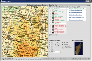
Go Spatial Ltd. mapping application with some data from Madagascar
UNDERSTANDING TECHNOLOGY: Open Source Software — Opening the GIS Market From The Foundation Up

Chris Andrews

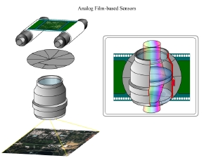
Analog Film-Based Sensors
TUTORIAL: Remote Sensing Data Acquisition and Initial Processing

George Raber
Jason Tullis
John Jensen

Zoom In
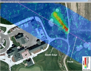
INTERVIEW: Remote Sensing For Pipeline Safety — A Conversation with Dan Brake

Adena Schutzberg

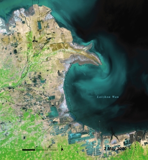
Atlas Sample Image - China, Yellow River
NEWS: Geospatial News

Michelle Lee

Contact About Us Advertise Archives Magazine Home

©Copyright 2005-2021 by GITC America, Inc. Articles may not be reproduced, in whole or in part, without prior authorization from GITC America, Inc.